Precision Solutions in Public Projects
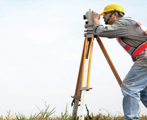
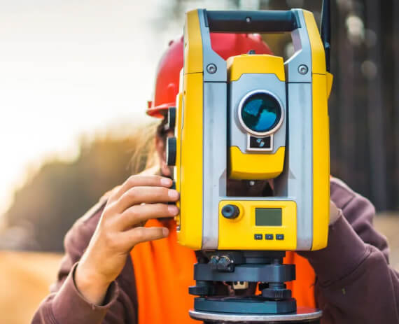
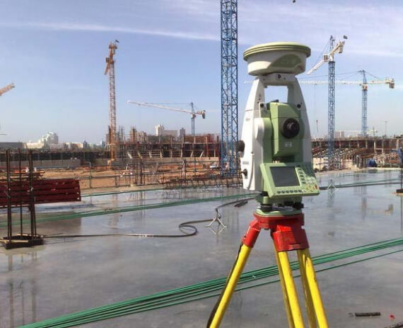
As Gencer Map, we meet your needs in many areas of public projects, from land management to cadastre, and we carry out measurement operations with great precision and meticulousness 24/7 with our expert team.
As Gencer Map, we understand the requirements of your projects and approach your project processes with great sensitivity by using the most appropriate measurement techniques and equipment.
Adaptive Measurements
With our Public Measurements service, you can carry out your measurements in a sustainable way without ignoring environmental and social factors. Choose Gencer Maps to achieve excellent results in a short time.
By technically evaluating and analyzing the data obtained as a result of Gencer Map's public measurements, you can convert the results into a suitable format that can be used in map and cadastral systems and benefit from these data in your operations.


Perfect Measurements
High speed
Top Quality
Attention to Details
Map Adaptive Data
Top Quality
Attention to Details
Map Adaptive Data
Quality Solutions Special for You
We prioritize customer satisfaction and approach every project with passion. While we offer customized solutions for each client, we take care to ensure that your project stays within the budget and time frame.
3D Surveying
3D Facade Surveying
3D Application Application
Steel Count. and Industry Measurements
Zoning Applications
Infrastructure Projects
Superstructure Projects
Construction Measurements
